From pixels
to insights™
Satellite Solutions
for Critical Decisions
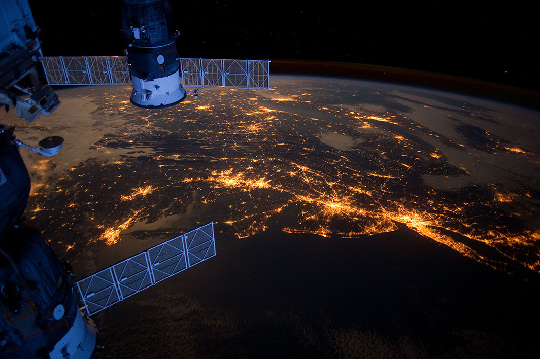
GeoAI that turns complex satellite and spatial data into answers about what's happening on the ground in places that matter.
Get StartedAsk our platform agent any question about an area or event of interest.
It will design a product, orchestrate the necessary data, and deliver a
customized insights report.
Translates your questions into the right data requirements and activity indicators.
Connect your data via API to automate insights and incorporate your standard procedures.
Automates routine work so you focus on strategic analysis.
Standardizes and integrates hundreds of data feeds for multi - source insights
Connects you to a vast partner network for quick and flexible data access.
Translates your questions into the right data requirements and activity indicators.
Operationally mature and field - tested insights for agencies
responsible for humanitarian aid, defense and intelligence
“We see the mission impact of commercial GEOINT every day”
“The Luno contracts are a key part of NGA’s strategy to leverage this vital source for our mission partners, providing key insights and actionable, shareable intelligence .”
“We see the mission impact of commercial GEOINT every day”
Connecting 90+ data sources for full transparency of ground
conditions.
Ask a question. Our AI analyzes it and delivers what you need.
Tell us the location and Ursa.next handles everything else.

Tell us the location and Ursa.next handles everything else.
Delivering AI - driven, decision - ready multi - source satellite and geospatial intelligence.
By turning complex satellite and spatial data into intuitive , decision -ready answers, we empower anyone to understand what’s happening on the ground, at global scale.
Co-founded in 2014 by Adam Maher, CEO . Headquartered in Ithaca, New York. We've spent 10+ years building the vendor par tnerships and data pipelines that turn comple x satellite imagery into clear, actionable insight.
Tell us what you are trying to solve .
Our team will show you how Ursa can help and get you started quickly.